
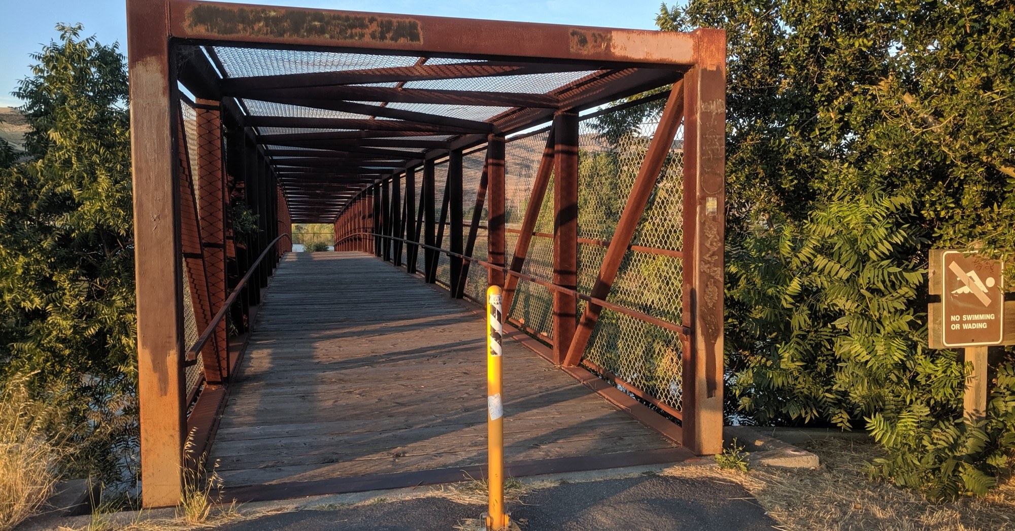
Top image: A bridge on the Coyote Creek Trail in San José. Coyote Creek flooded in February 2017, and its banks remain on the city’s watch list this winter. Photo: Ikluft / CC BY-SA 4.0 via Wikimedia Commons
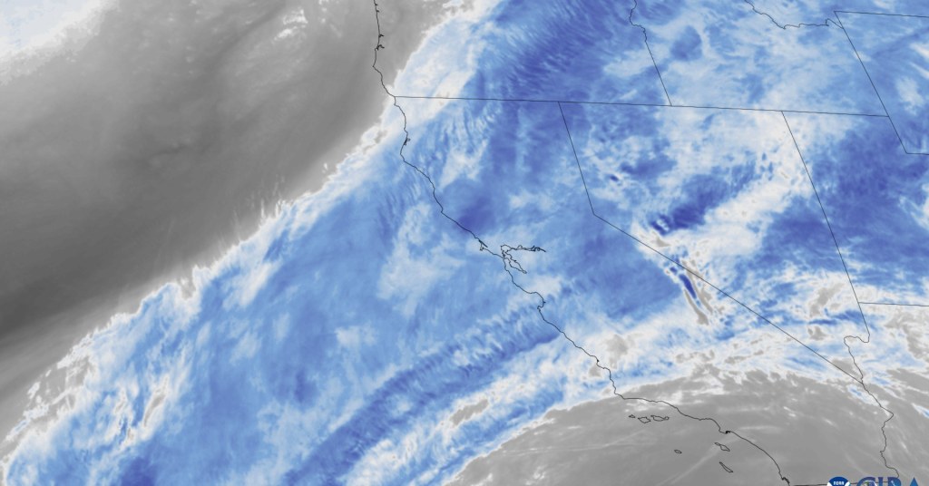
San José is officially under a local emergency for the El Niño storm season. The City Council proclaimed it on Tuesday, Nov. 10, giving city staff faster ways to prepare for what forecasters say could be a historic winter, the city announced.
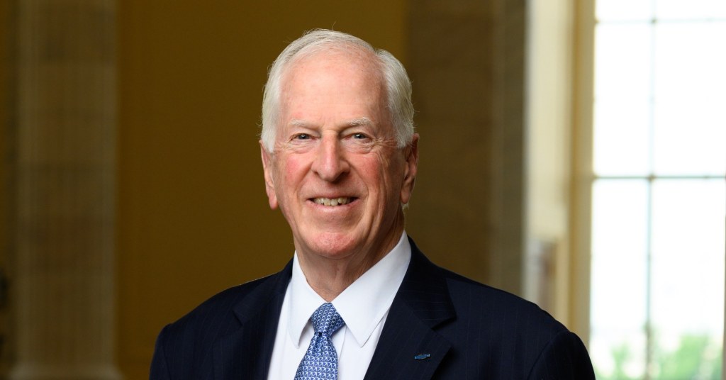
“We’re declaring a local emergency because El Niño won’t wait for bureaucracy, and neither can we,” Mayor Matt Mahan said in the announcement. “Every day before the next major storm counts. This declaration gives us the authority to move faster, whether that means getting contracts signed or getting our hands dirty clearing debris from creeks before it causes flooding.”
The Chronicle previewed the proposal on Monday. Here is what changed once it passed.
What the proclamation does
According to the city, the emergency gives staff the flexibility to:
- Buy supplies quickly: flood protection materials, equipment and other essentials, while tracking costs so the city can seek state and federal reimbursement.
- Bring in contractors for work that reduces flooding and other storm damage.
- Call on partners: request mutual aid from neighboring cities, Santa Clara County and state agencies.
- Move staff: reassign city employees across departments to storm preparation and response.
The money behind it is limited. The staff memo says the city’s Emergency Reserve Fund currently has $5.5 million available for storm costs, and staff will seek reimbursement for what is spent, according to the Oct. 29 memo from the City Manager’s Office. The step aligns San José with Gov. Gavin Newsom’s state of emergency proclamation of Sept. 21.
“San José is storm ready. Our dedicated City employees prepare for wet weather long before the first drop of rain falls from the skies,” City Manager Jennifer Maguire said. “The emergency proclamation is a tool for us to continue to prepare for what could be a historic storm season.”

How long it lasts
The resolution says the emergency continues until the council ends it. Under state law, the council must review it regularly: staff will return at least every 60 days, starting at the Dec. 15, 2026, council meeting, followed by a review on Feb. 9, 2027, the memo says.
Where crews will be watching
The city and Valley Water monitor “hot spots” along seven waterways: Coyote Creek, the Guadalupe River, Canoas Creek, Ross Creek, Upper Penitencia Creek, Berryessa Creek and Lower Silver Creek with Lake Cunningham. The Transportation Department separately tracks 60 storm hot spots, 22 of them near creeks. Among the areas of most concern listed in the memo:
- Coyote Creek: the Golden Wheel and South Bay mobile home parks; a neighborhood near East William Street; and the Rock Springs Drive area downstream of Tully Road.
- Guadalupe River and tributaries: the east bank from Willow Glen Way to Willow Street; the west bank from Malone Road to Alma Avenue; the north bank of Ross Creek near Almaden Expressway; and the north bank of Canoas Creek near Nightingale Drive.
- Upper Penitencia Creek: from Coyote Creek to King Road and on to Jackson Avenue; Mabury Road near Independence High School; and Piedmont and Penitencia Creek roads.
The memo notes that “residents do not have to live next to a creek to be impacted by flooding.”
How much protection is in place
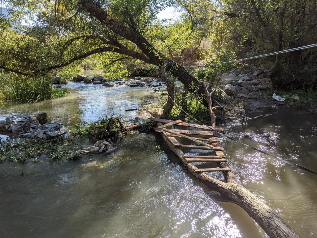
Valley Water’s projects are further along than in 2017, but not finished. Phase 1 of the Coyote Creek Flood Protection Project, which covers a 9-mile stretch between Montague Expressway and Tully Road, was completed in June 2025. The full project is designed to protect against a flood like February 2017’s, roughly a 20-year event, and Phase 2 is planned before 2028, according to the memo. The Anderson Dam Tunnel Project, which will divert reservoir inflows into Coyote Creek, is nearing completion, with its remaining major work scheduled to finish by the end of 2026.
Upper Penitencia Creek is the weak point. It can carry only about a 2-year flood, and a 4.2-mile fix that would protect the area around the Berryessa/North San José BART station depends on federal funding that has not been allocated, the memo says.
What residents can do now
- Sign up for emergency alerts at AlertSCC.org.
- Check whether you live in a flood zone with the city’s flood map, and consider flood insurance.
- Make an emergency plan and supply kit. More resources are at bit.ly/SJ-StormReady.
The council’s vote tally was not listed in the city’s announcement. The Chronicle will update this story when the official minutes are posted.




Leave a Reply